Sometimes a good place to find interesting tidbits of history is endlessly Googling different word combinations and you can find public family history blogs. There may only be a small portion of it dedicated to some ancestor who lived in Honeyville, but interesting still.
Here are the few that I have found. If anyone knows of more I would love a comment on it.
Peter Adolph Forsgren
Fredrick James Graham
James May
Royal Grant
Wednesday, September 30, 2015
Monday, September 28, 2015
Fun with Google Earth
Want to have some fun using Google Earth to see what structures or roads have changed over the past 50 to 80 years? You can download historical aerial imagery from the USGS website and overlay it in Google Earth, get it aligned, and then use the transparency slider to go back and forth between old and new.
I will post 3 preset overlays which you can use to try it out. Download the KMZ files and open them with Google Earth. If you do not have Google Earth you can download it here:
Google Earth
Once you have Google Earth you should be able to double-click the KMZ file and it will open right up. Once it is opened you will see it as a "Temporary Place", right-click on that particular temporary place and select properties. It will bring up a dialog box which has a transparency slider and you can slide back-and-forth between old and new.
1938 Overlay
1946 Overlay
1953 Overlay
If you would like to look at more historical imagery check out the Utah Geological Survey.
.
I will post 3 preset overlays which you can use to try it out. Download the KMZ files and open them with Google Earth. If you do not have Google Earth you can download it here:
Google Earth
Once you have Google Earth you should be able to double-click the KMZ file and it will open right up. Once it is opened you will see it as a "Temporary Place", right-click on that particular temporary place and select properties. It will bring up a dialog box which has a transparency slider and you can slide back-and-forth between old and new.
 |
| Temporary Places is underlined in red. The dialog box opens (shown on right) and you will get the transparency slider, circled in red. |
1946 Overlay
1953 Overlay
If you would like to look at more historical imagery check out the Utah Geological Survey.
.
Wednesday, September 23, 2015
The Train Stations
Oddly enough Honeyville was better served by "mass transit" 100 years ago than today. In fact for a time their were two rail lines making stops in Honeyville, one being the electric rail and the other the Oregon Short Line Rail Road.
.
 |
| Looking down at the intersection of 6980 N 2750 W I have superimposed the location of the station |
 |
| This is labeled as Honeyville, and it is the correct building, but it seems misplaced to me |
 |
| This is labeled as Honeyville, and it is the correct building, but it seems misplaced to me |
 |
| The old train station was first moved to Corinne, then to Heber, and as of 2013, a parking lot in Heber |
 |
| This is taken looking east |
 |
| A clip from Box Elder News & Journal - 1917 |
.
Tuesday, September 22, 2015
Honeyville church, school, store, coal dump, shed
The first church in Honeyville was what is now known as the "Tolman and Sons" building. It served as the first church and was dedicated by Lorenzo Snow on January 5, 1879. It served as the church until a new one was built more in the center of town. It only served as a school for a short time as other places seem to have been used soon after. BH Tolman bought it and remodeled it into a store in 1911. This was not his first store, he had been operating west of the tracks in a store purchased from Benham Hunsaker. Sometime before that he had operated with his sons as traveling merchants, and before that ran the town store, which was really part of the LDS church run co-op, out of his house. Around 1940 (not sure of the exact date) after a new store by Mr. Johnson was built along the highway he used the old Tolman store as a coal dump.

.

 |
| This was likely between 1911 and 1914 |
 |
| This was likely between 1911 and 1914 |
 |
| Not sure of the time frame on this but it does appear to be more of a storage yard at this point |
 |
| During its use as a coal dump |
 |
| 2013 - nothing inside but some lines in the plaster give a hint about its previous use |
.
Monday, September 21, 2015
Links
Useful links for Honeyville history on the web:
Crystal Hot Springs
Box Elder County
Honeyville City
Wikipedia
Crystal Hot Springs
Box Elder County
Honeyville City
Wikipedia
Thursday, September 17, 2015
From the Honeyville centenial DVD, compiled by Paul Orme
From the Honeyville DVD compiled by Paul Orme:
BH Tolman, third and final home -
Hyrum, Parley, Ralph Hunsaker house, now owned by the Blanchards
6980 N looking east from 2750 W
6900 N looking west from approcimately top of cemetary
Miscellaneous
.
BH Tolman, third and final home -
 |
| BH Tolman's third house just east of current store as seen looking east |
 |
| Front of the same BH Tolman house |
 |
| Same house as seen from 2015 Google Street View |
Hyrum, Parley, Ralph Hunsaker house, now owned by the Blanchards
 |
| Original house before future additions |
 |
| After addition |
 |
| The old church can be seen (located in current church's parking lot) with the stagecoach stop below, also a Hunsaker home |
 |
| Same view ca.1940 with post office across the street north of the old Tolman Store |
 |
| Same view courtesy of 2015 Google Street View |
 |
| This is before the highway came through and main street was along what is now 2750 west |
 |
| Approximately same view from Google Street View |
Miscellaneous
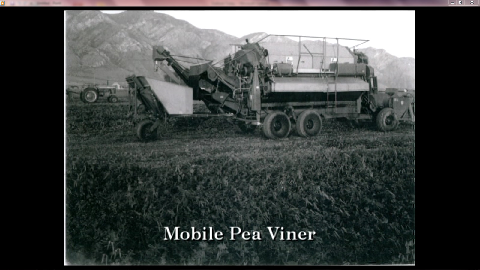 |
| Early Farming |
 |
| Old school - south of current post office |
 |
| Benham Hunsaker store - south of railroad tracks on the west side |
 |
| Blacksmith shop |
 |
| Crystal Hot Springs |
 |
| Crystal Hot Springs |
 |
| Crystal Hot Springs |
 |
| Crystal Hot Springs |
 | |
| Crystal Hot Springs |
.
Thursday, September 10, 2015
The beginning...
This page is dedicated to compiling old photographs (1950s or earlier), links to old photographs, sometimes some histories, and some historical tidbits - maybe. Mostly I want every interested person to be able to find old pictures of Honeyville, Utah. Having grown up there I am surprised at how few historical photos are archived in any manner.
Any photos shared on this page will be available to all, but whenever possible proper credit will be given to the original source, and lacking that, the source from where I obtained them. For those who would like copyright protection on their content I suggest registering with Creative Commons http://creativecommons.org/choose/
So please pass the word around and upload any old photos of the town of Honeyville. If you have old photos that you would like me to scan please email me. I have a mobile scanner and can come to you to help get them scanned and archived.
Subscribe to:
Posts (Atom)